All services
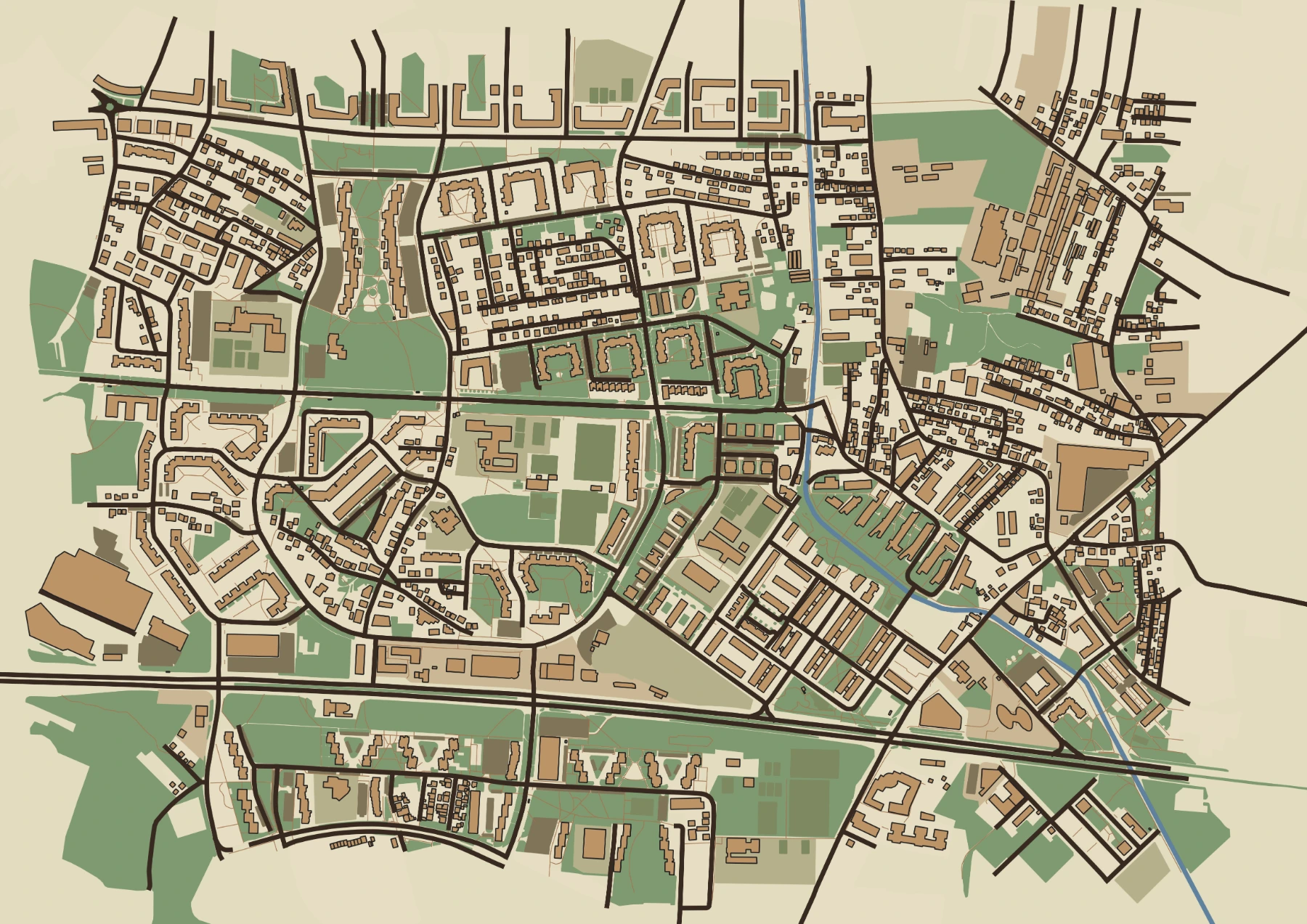
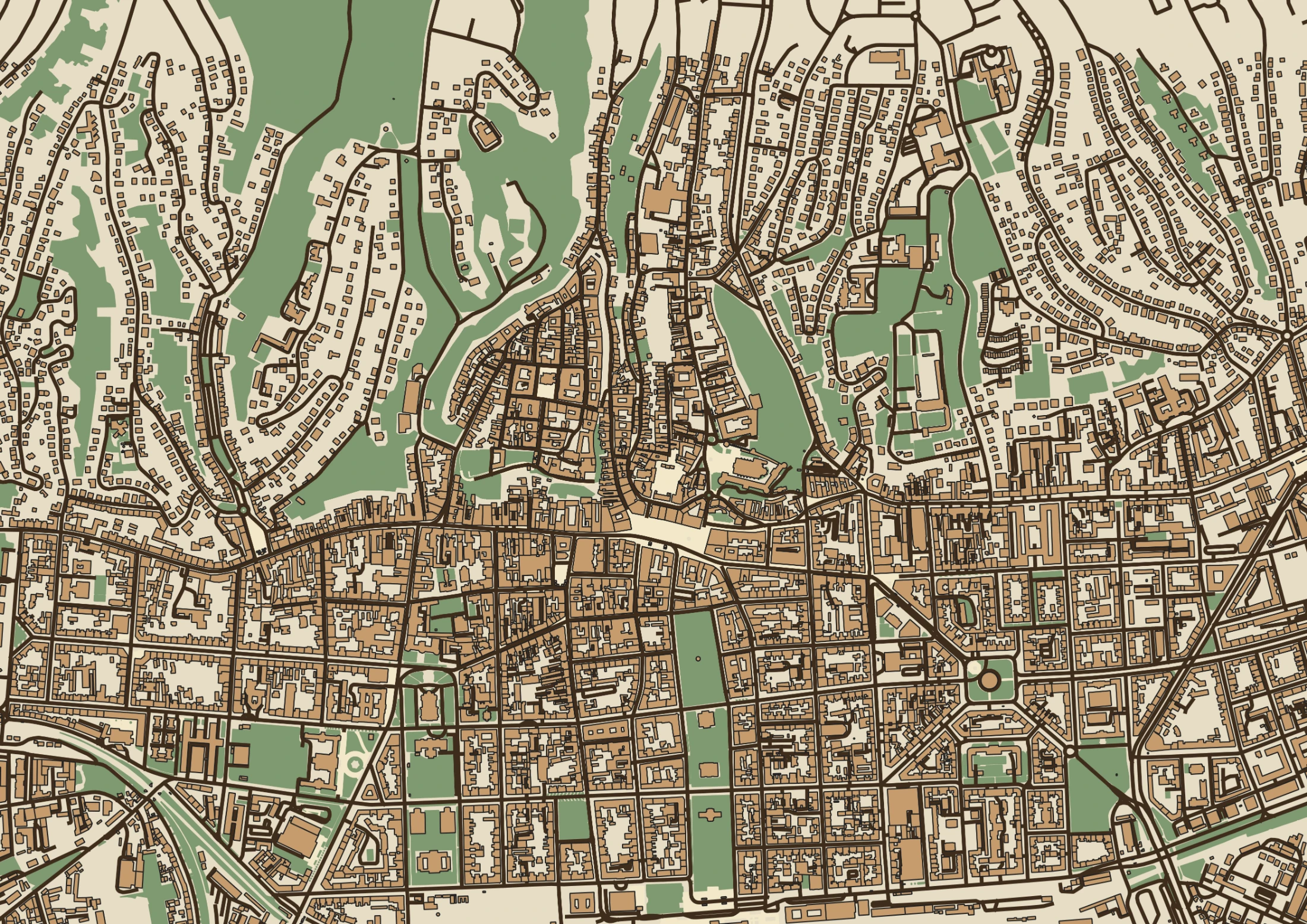
Historical Map Creation
About this service
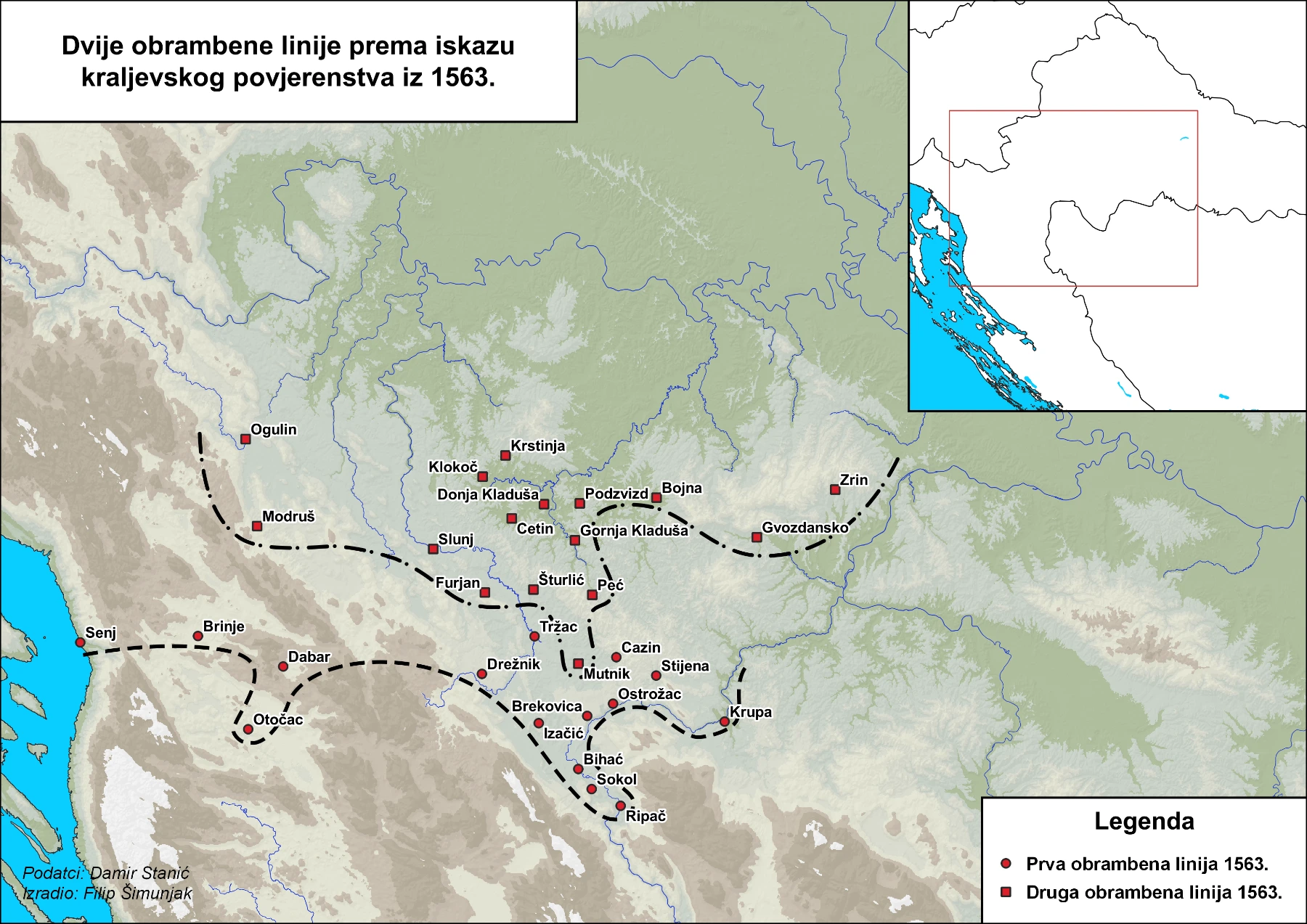
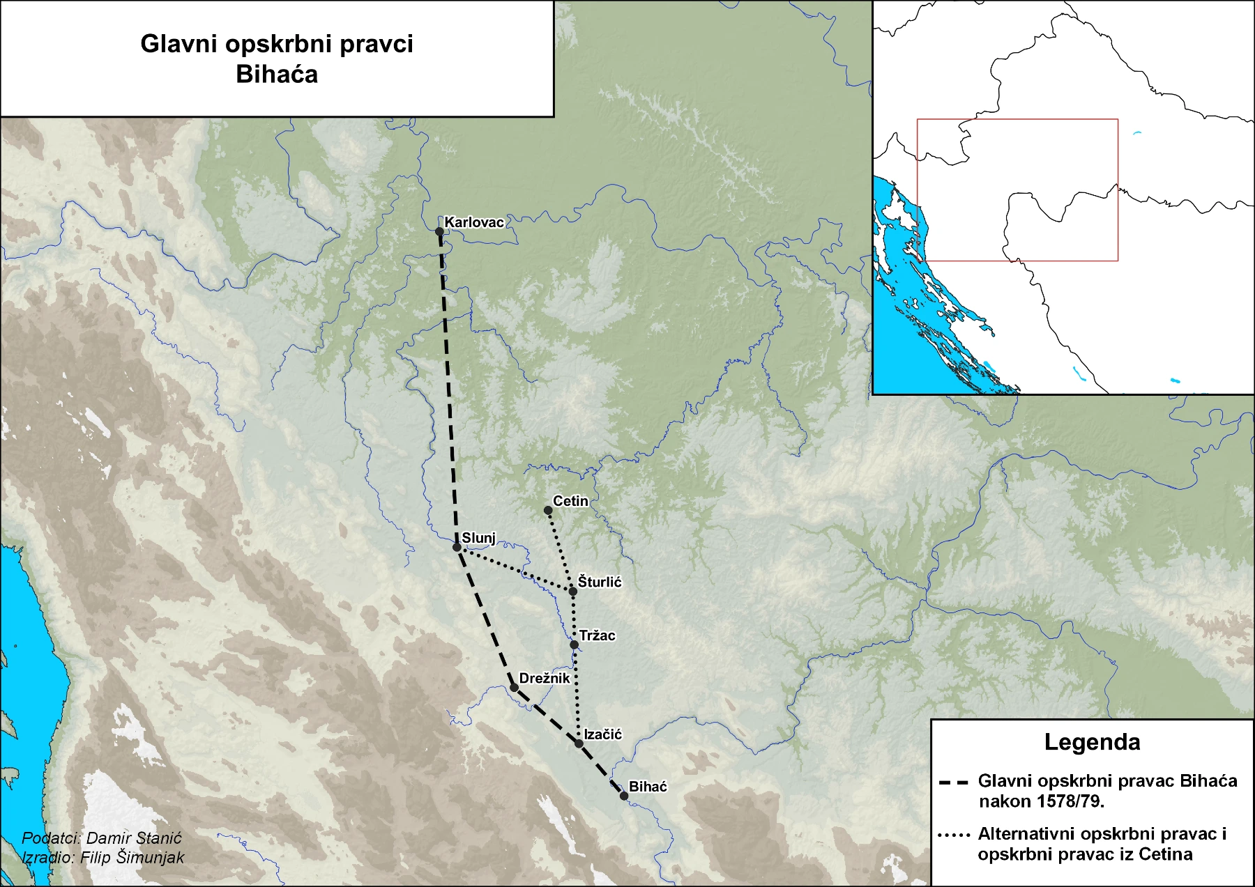
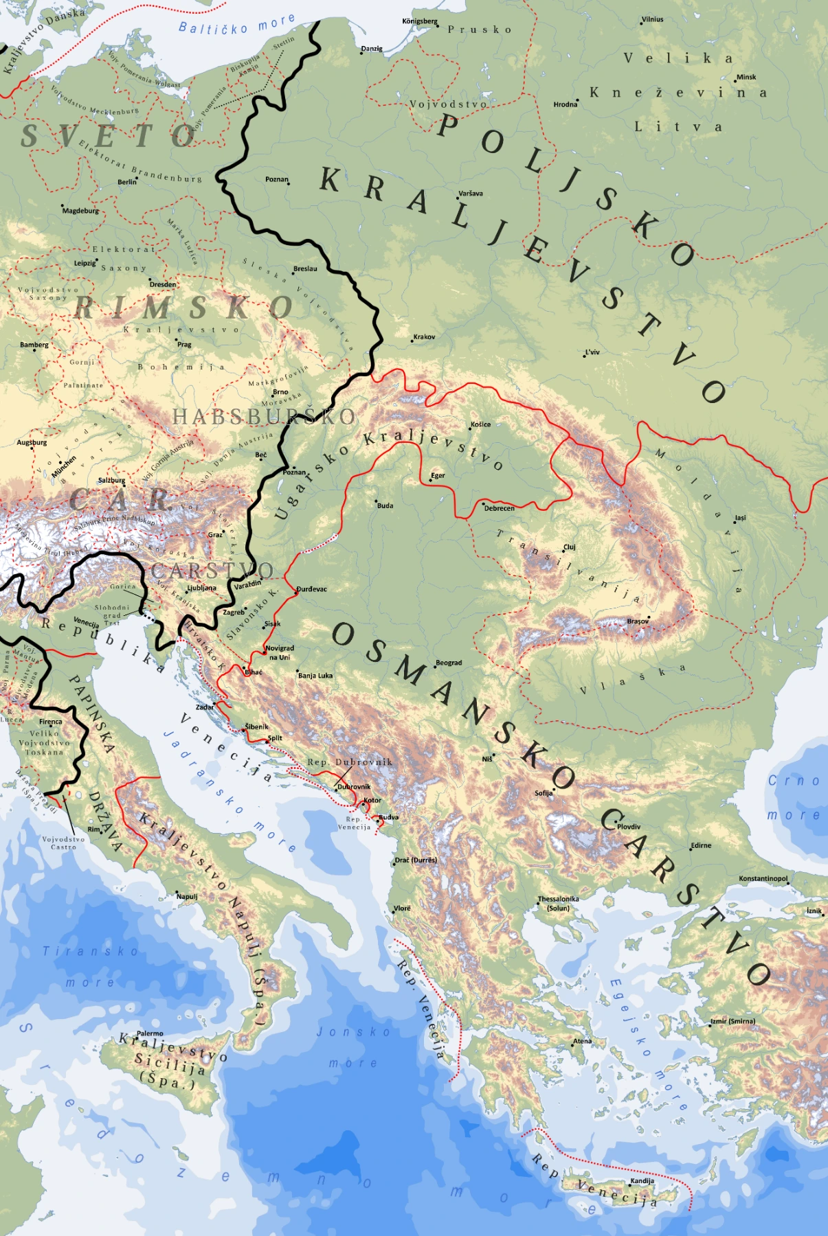
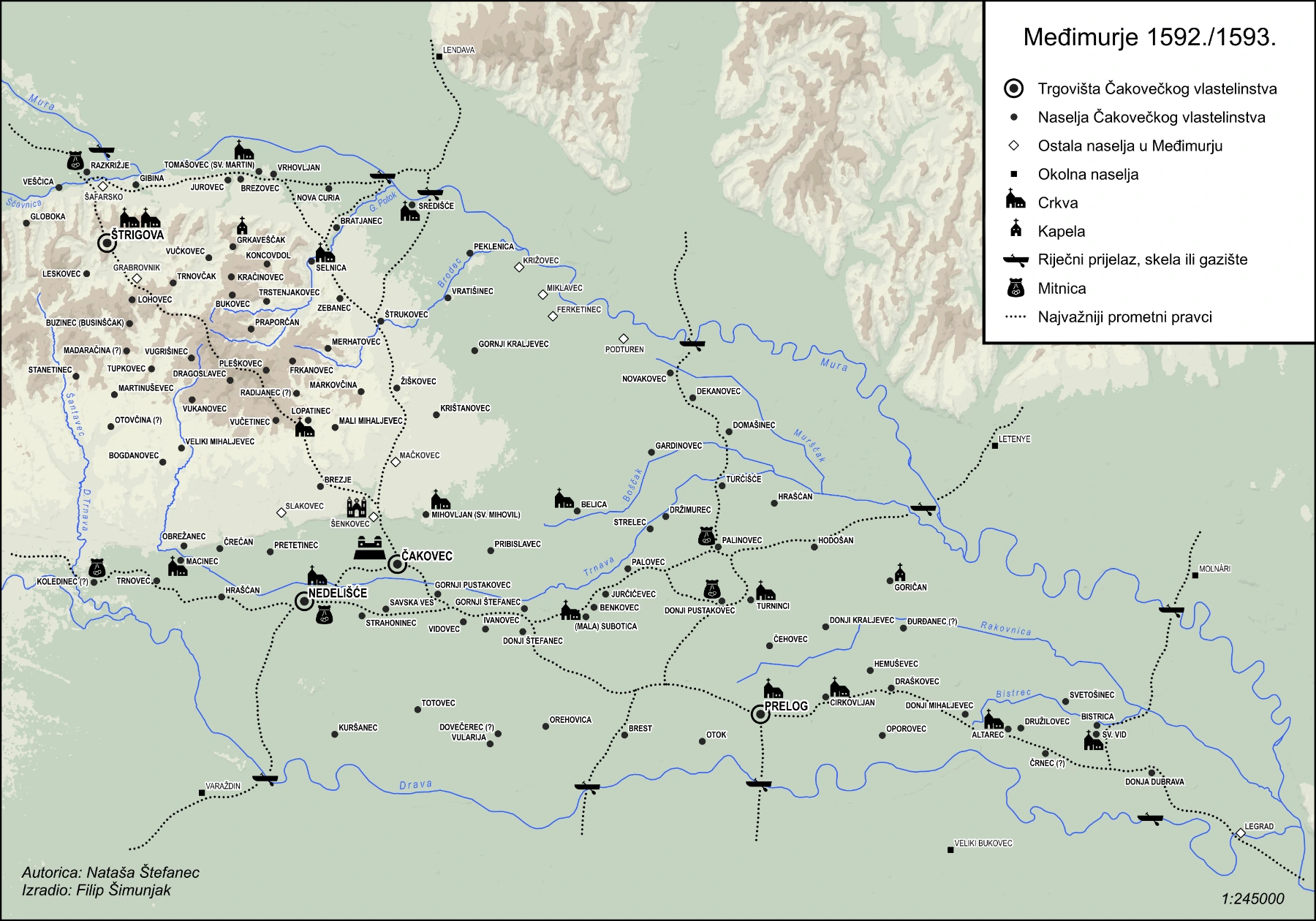
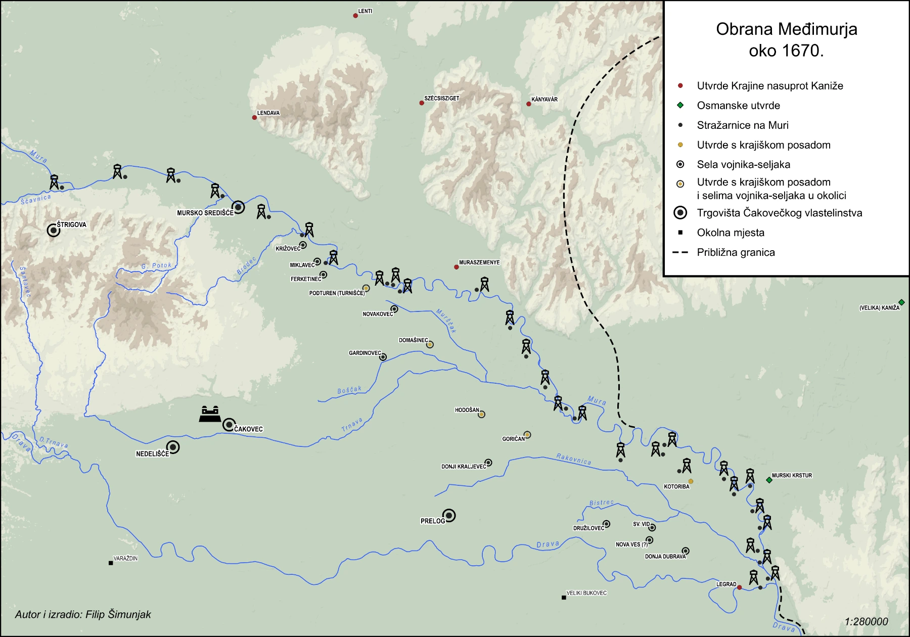
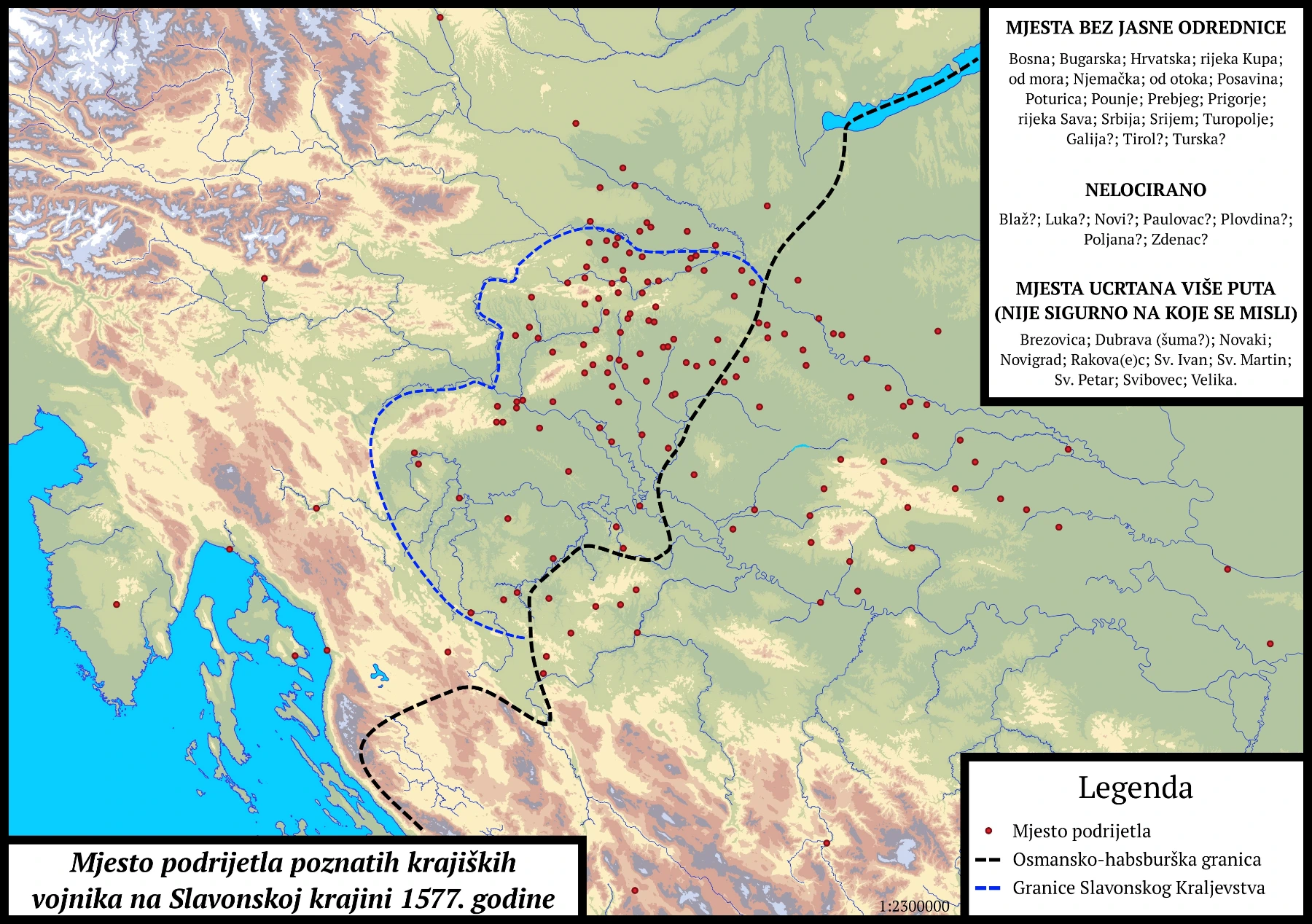
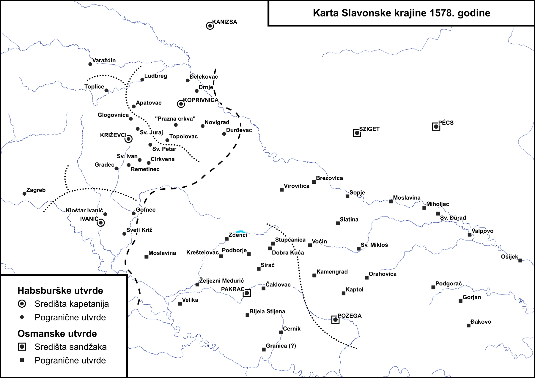
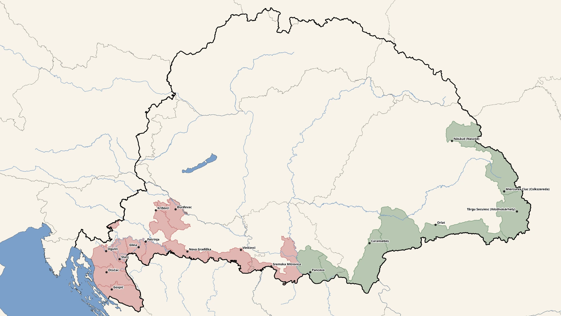
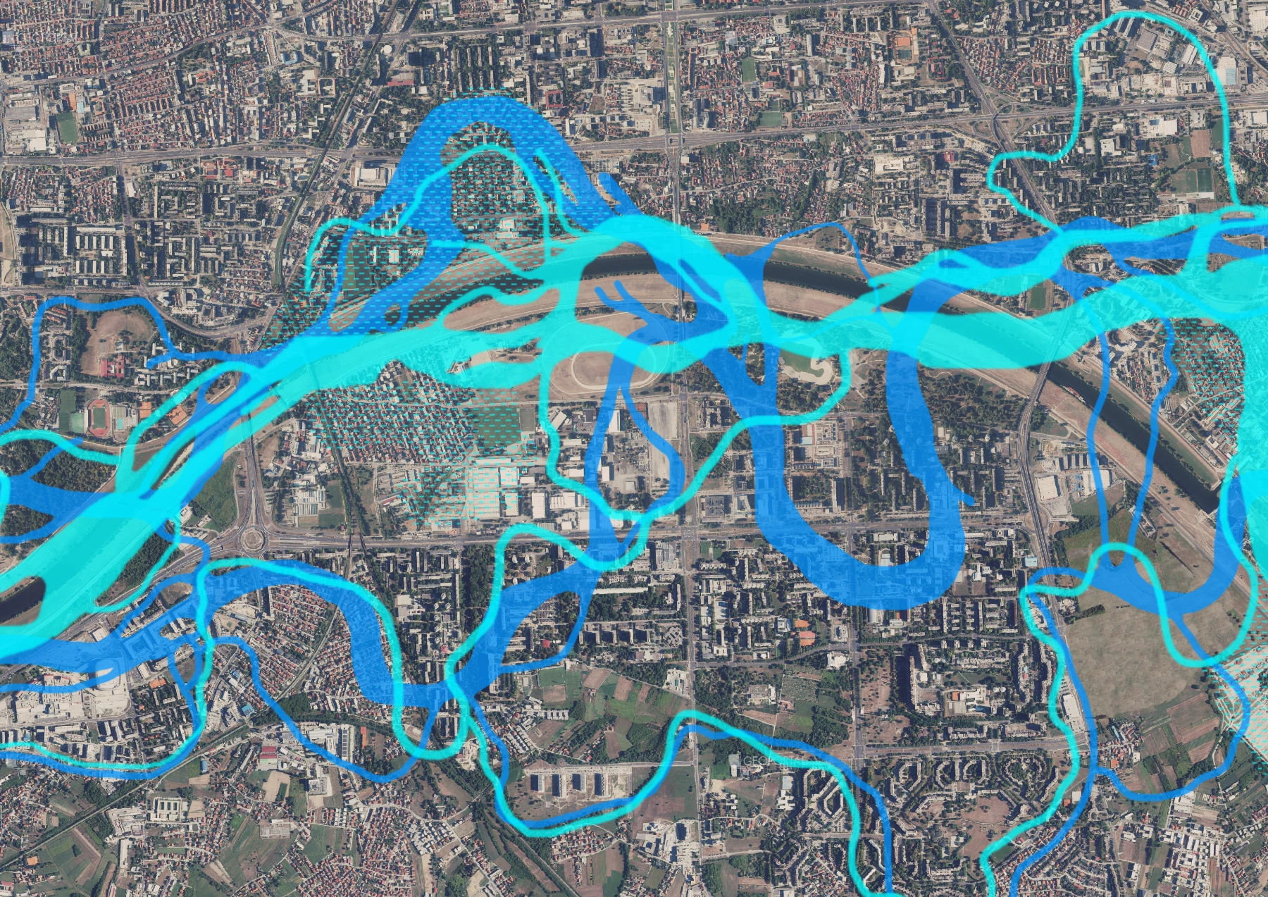
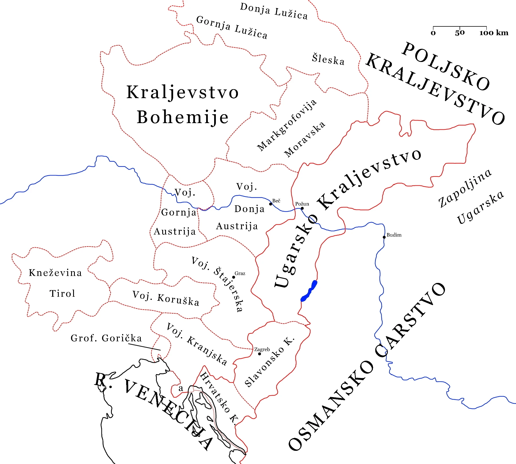
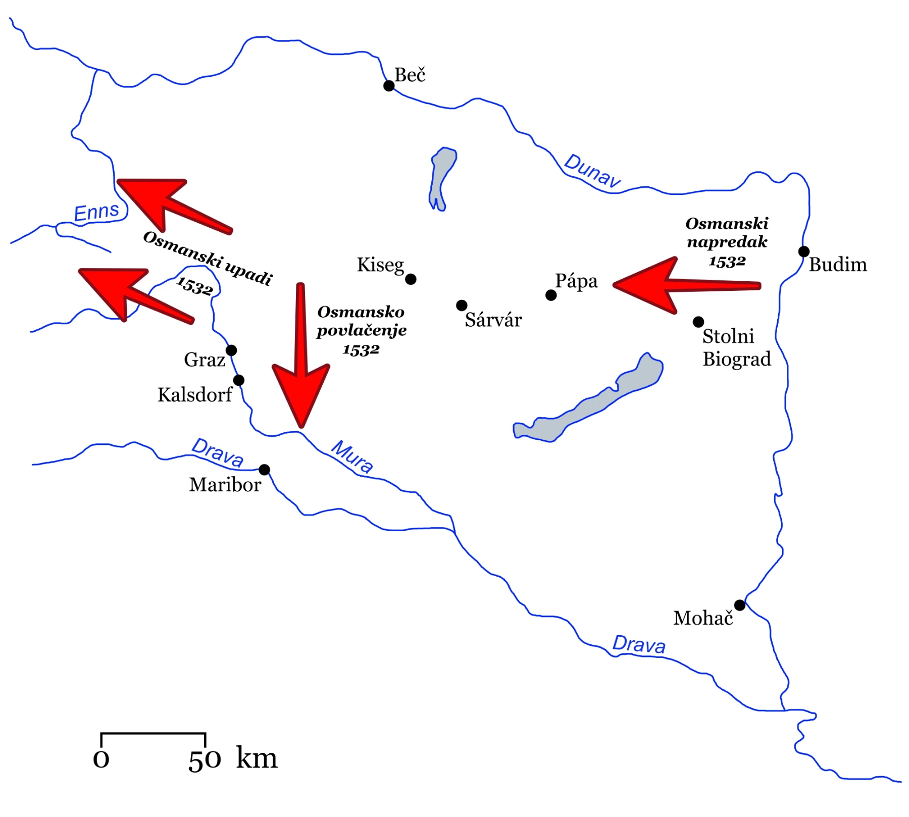
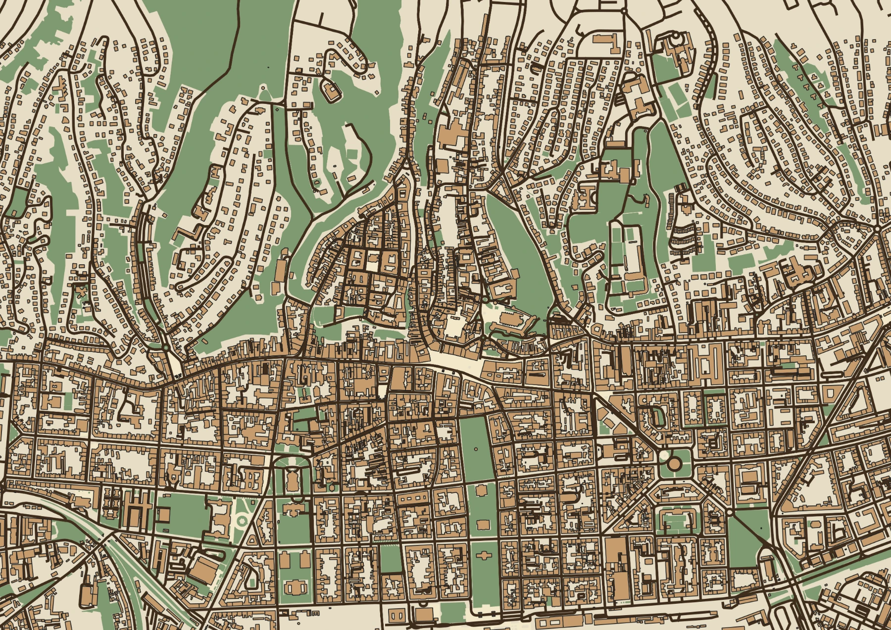
We combine geographic information systems (GIS) with historical cartography expertise to create maps that are both scientifically accurate and visually stunning. From tracing 18th-century border changes to mapping Ottoman-era fortifications, each map is crafted using georeferenced historical sources, terrain analysis, and modern visualization techniques. The result: maps that tell a story and serve as reliable research tools.
Selected work
Example projects in this category.