Historical Map Creation
About this service
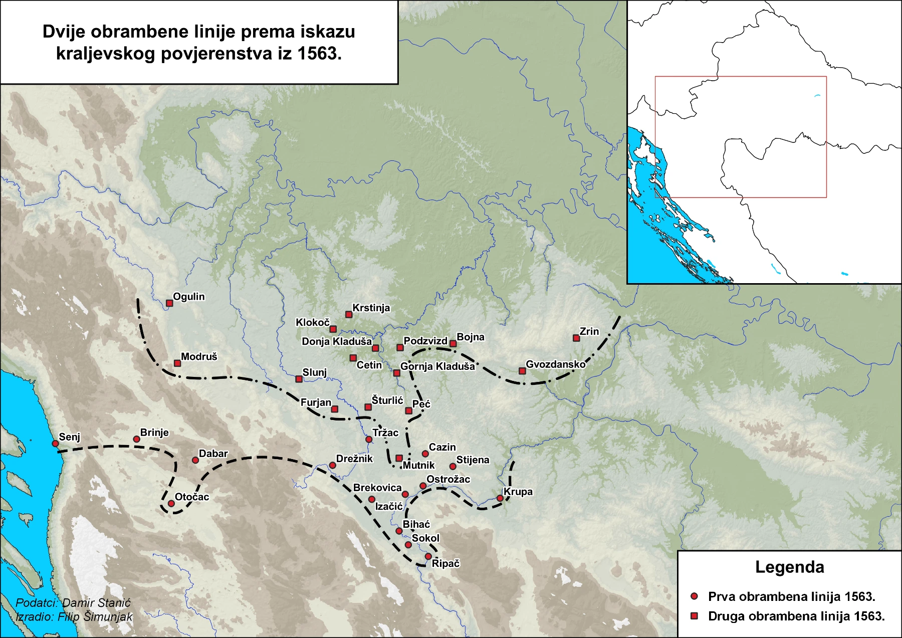
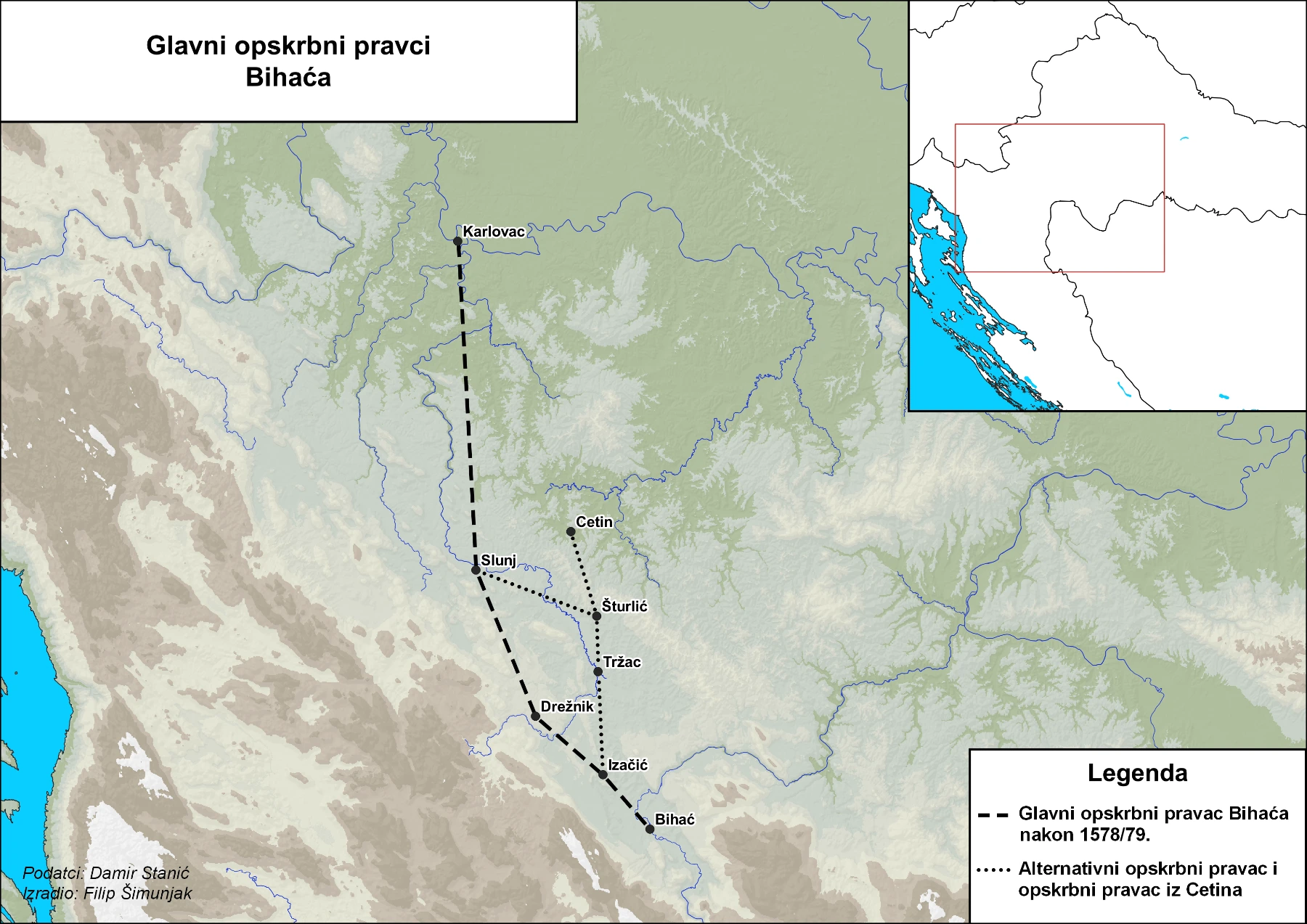
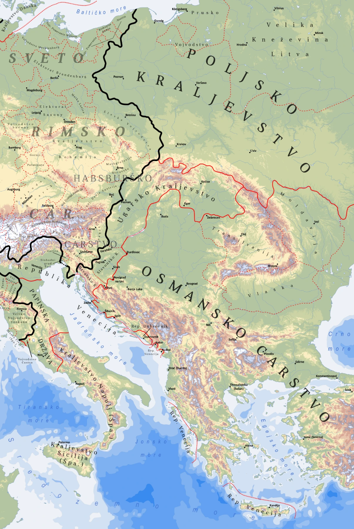
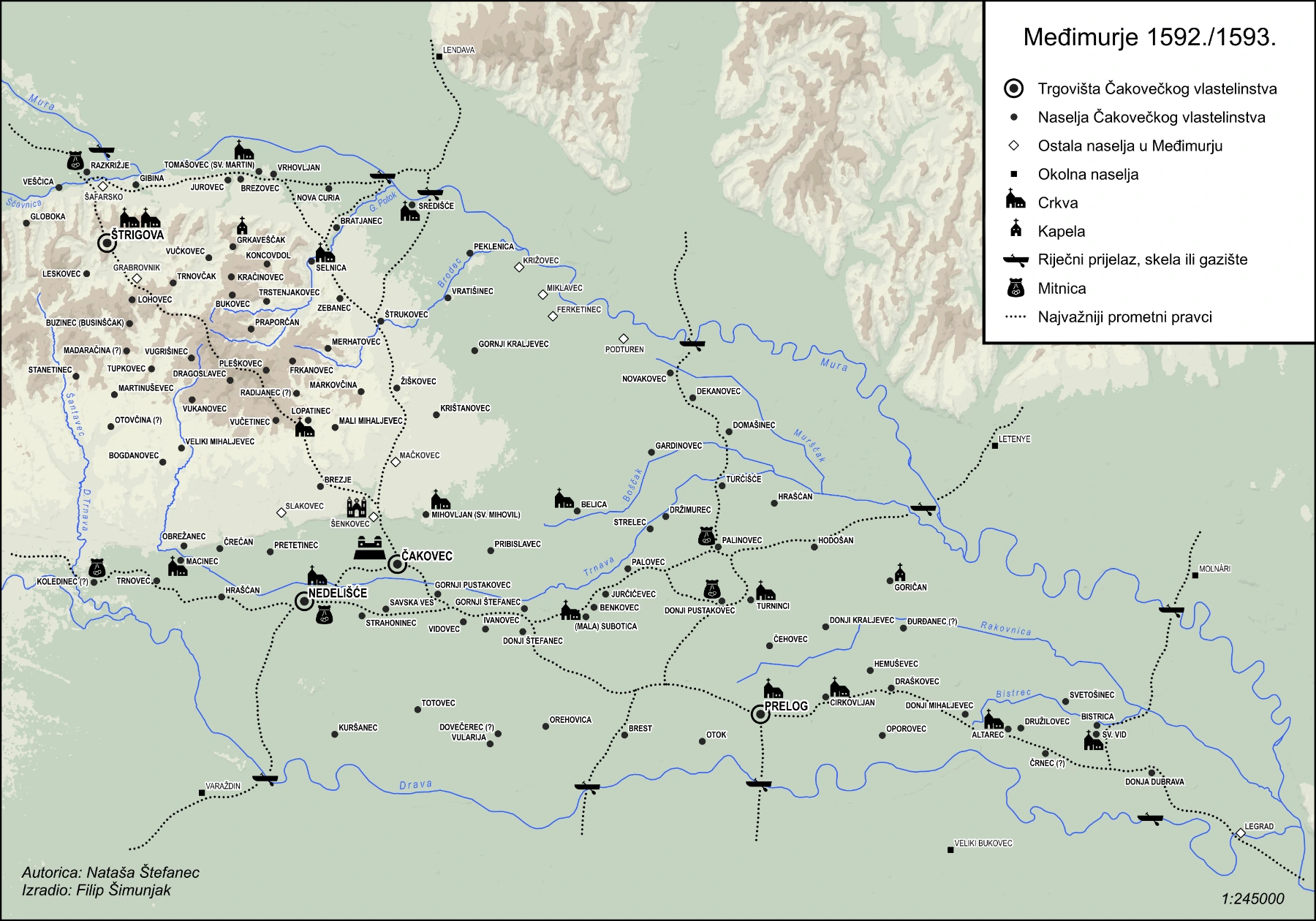
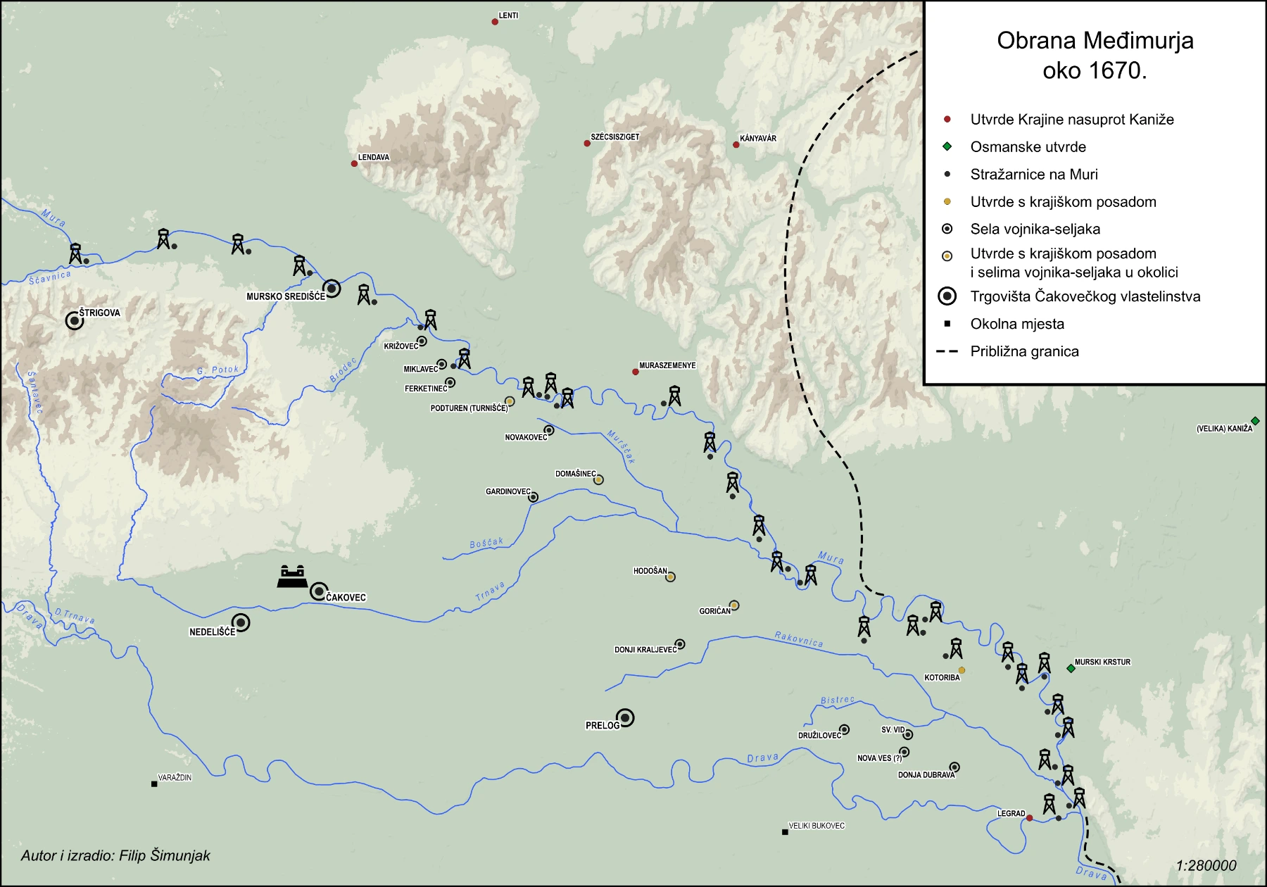
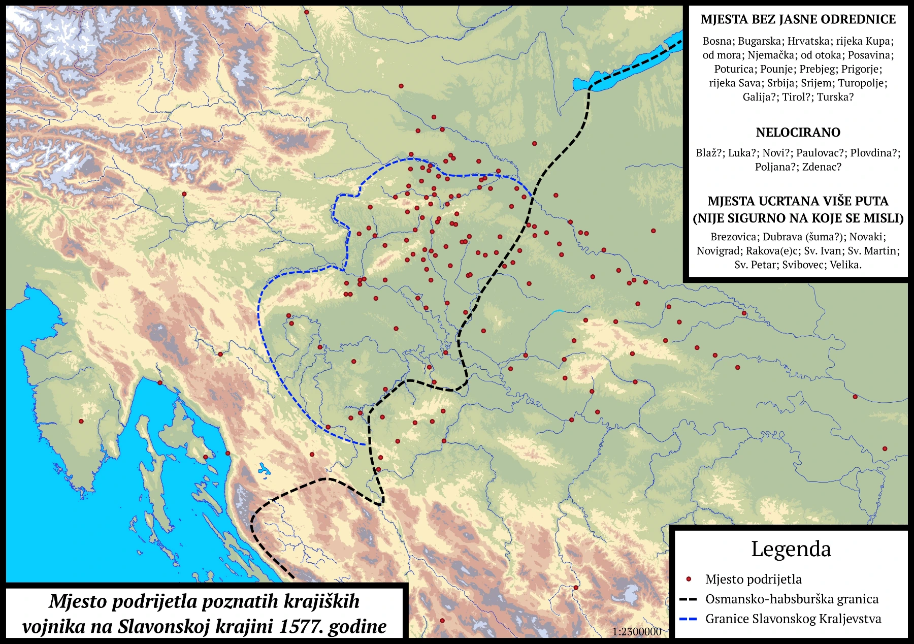
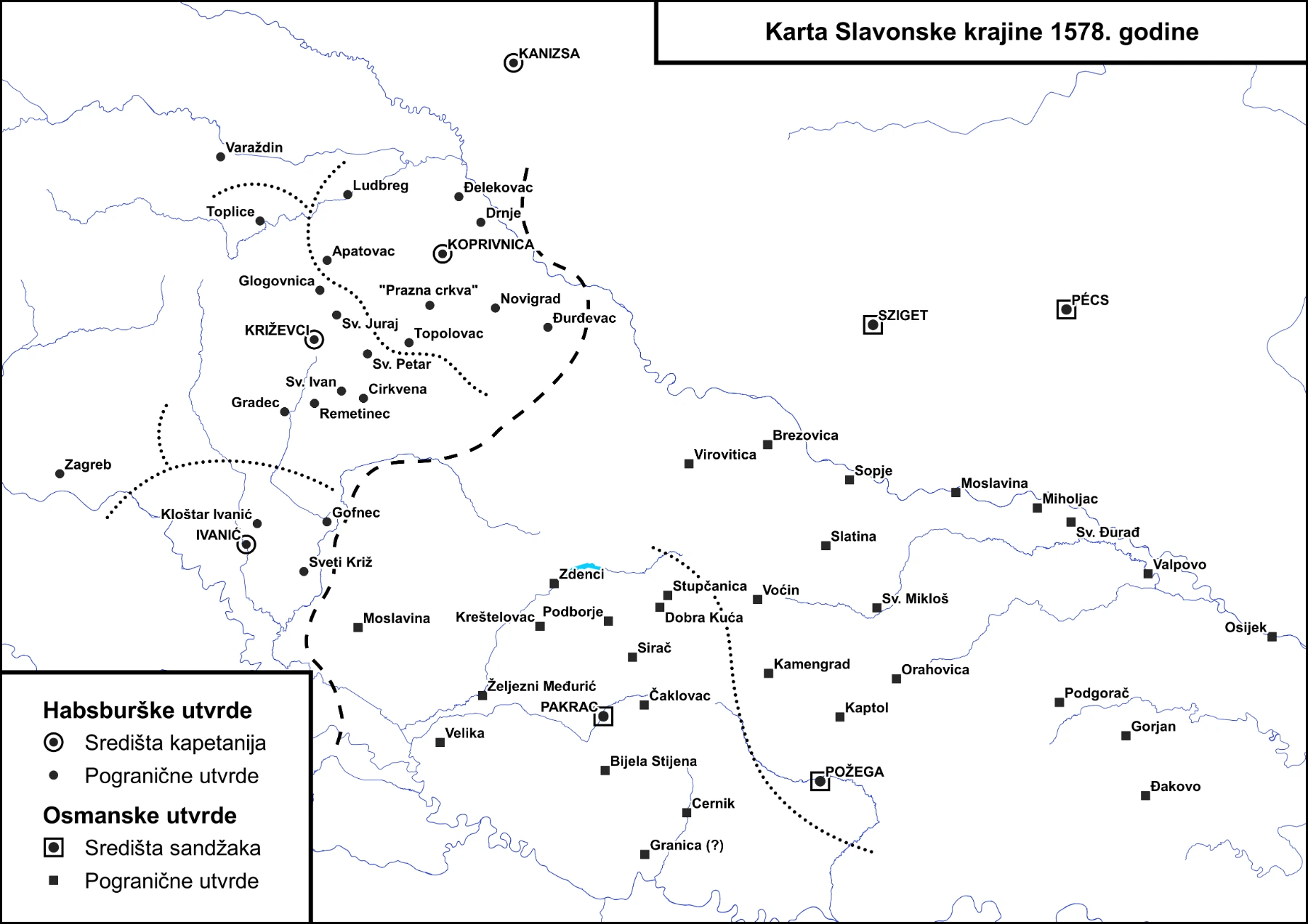
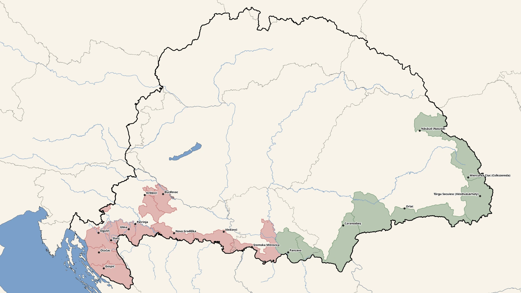
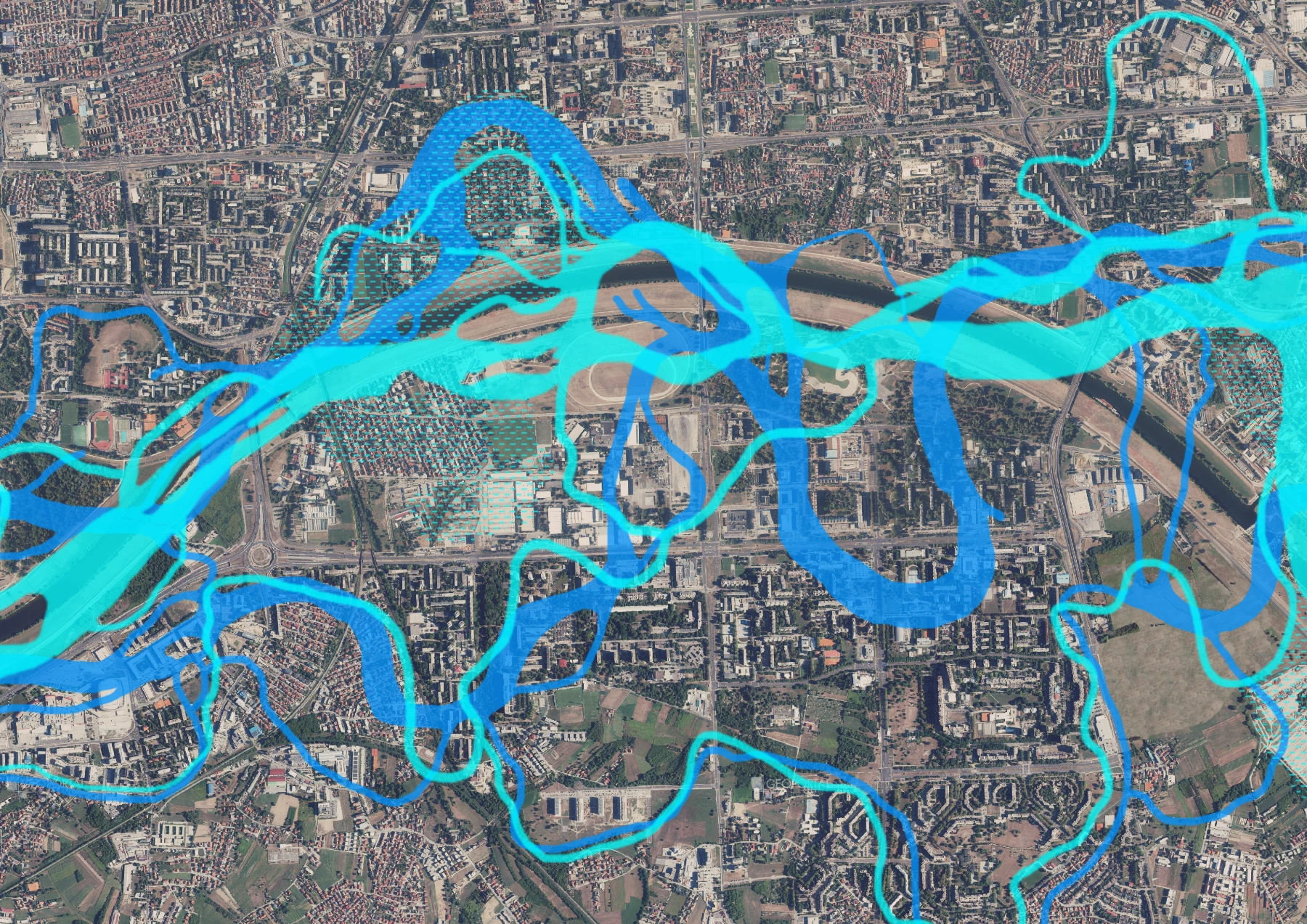
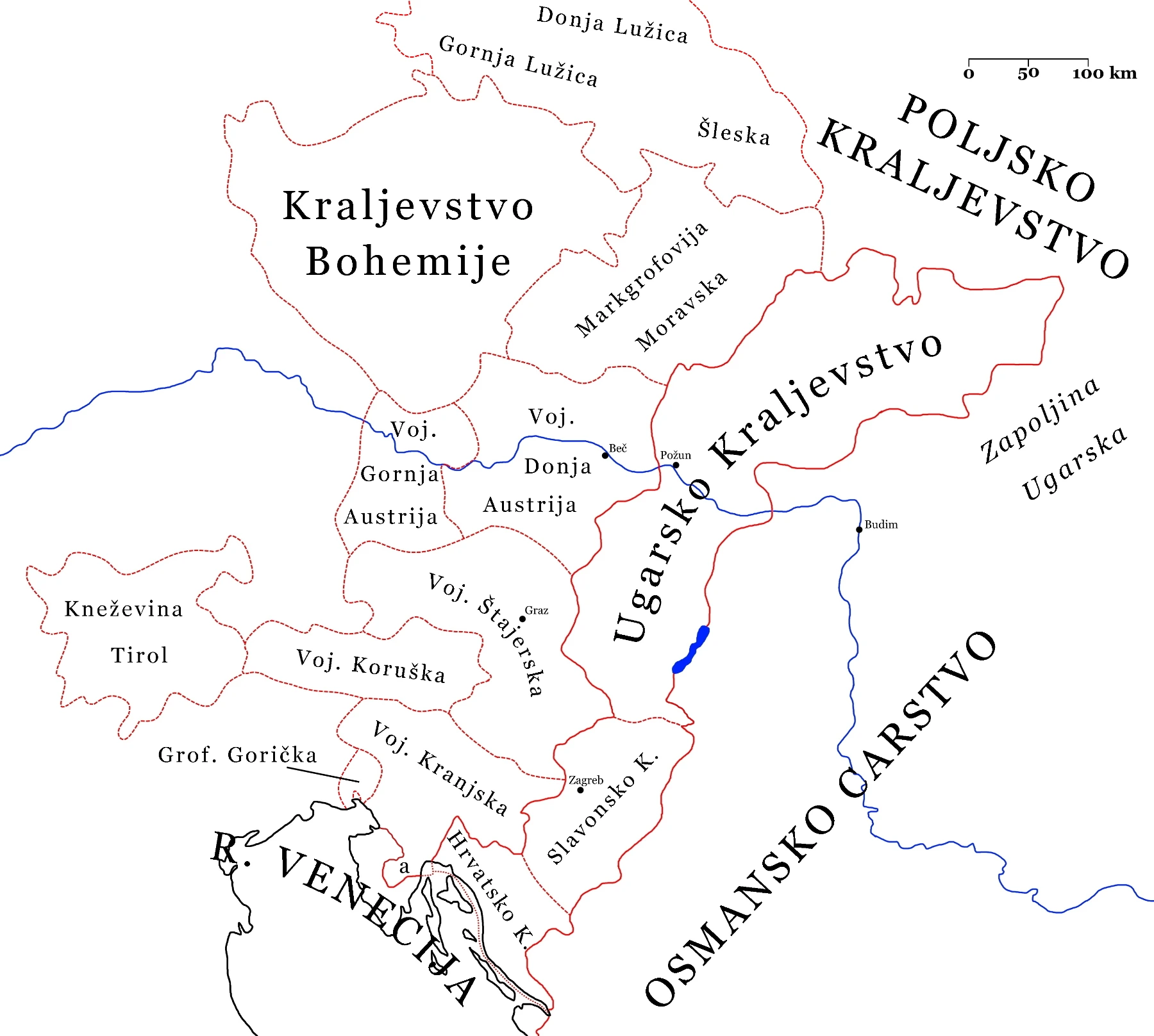
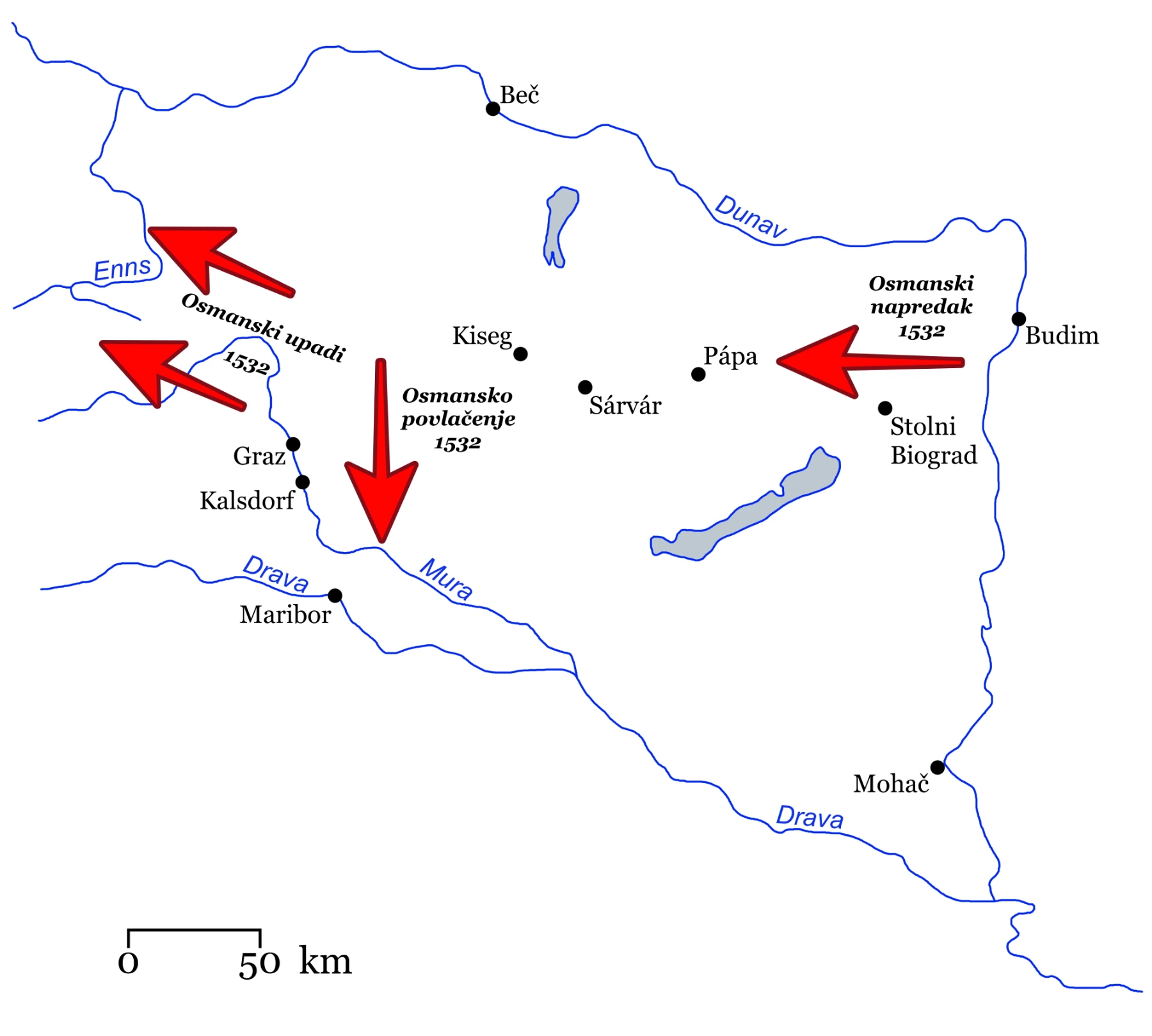
Historical maps are produced across a wide range of types — from political and administrative to demographic, migration, and military movement maps, including detailed depictions of individual battles or smaller localities. Each map is grounded in the research of historical sources and literature, with GIS technology employed where needed to ensure precise data placement and the reconstruction of historical space: former river courses, road networks, the location and extent of settlements, and other spatial features that no longer exist in their original form.
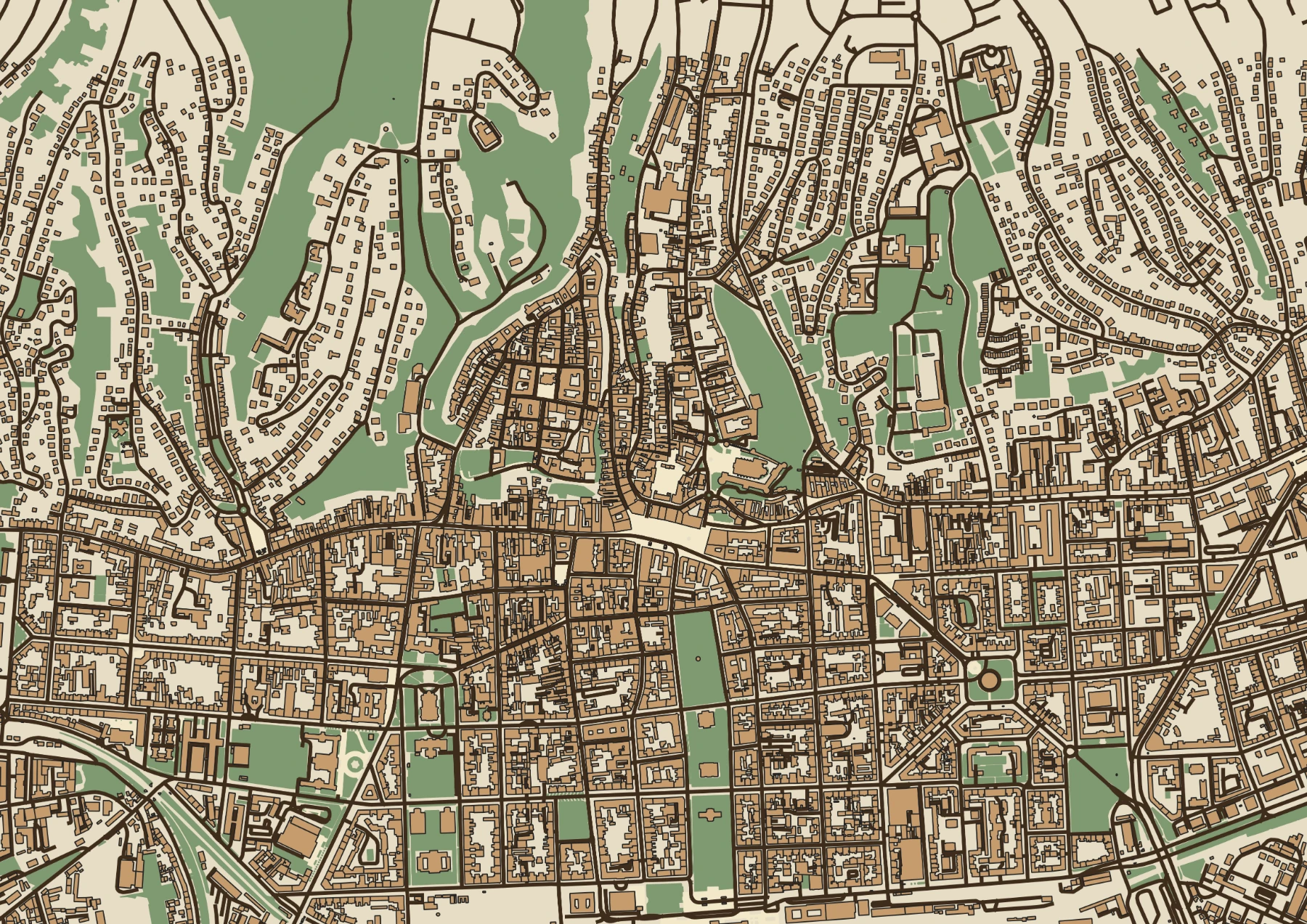
Maps are tailored to their intended purpose and audience — whether for academic publications, exhibitions, textbooks, or public history content. They are produced in colour or black-and-white, across various scales and cartographic styles, optimised for print, digital formats, or exhibition displays. Representational maps of the contemporary landscape, for promotional or visual purposes, can also be produced.
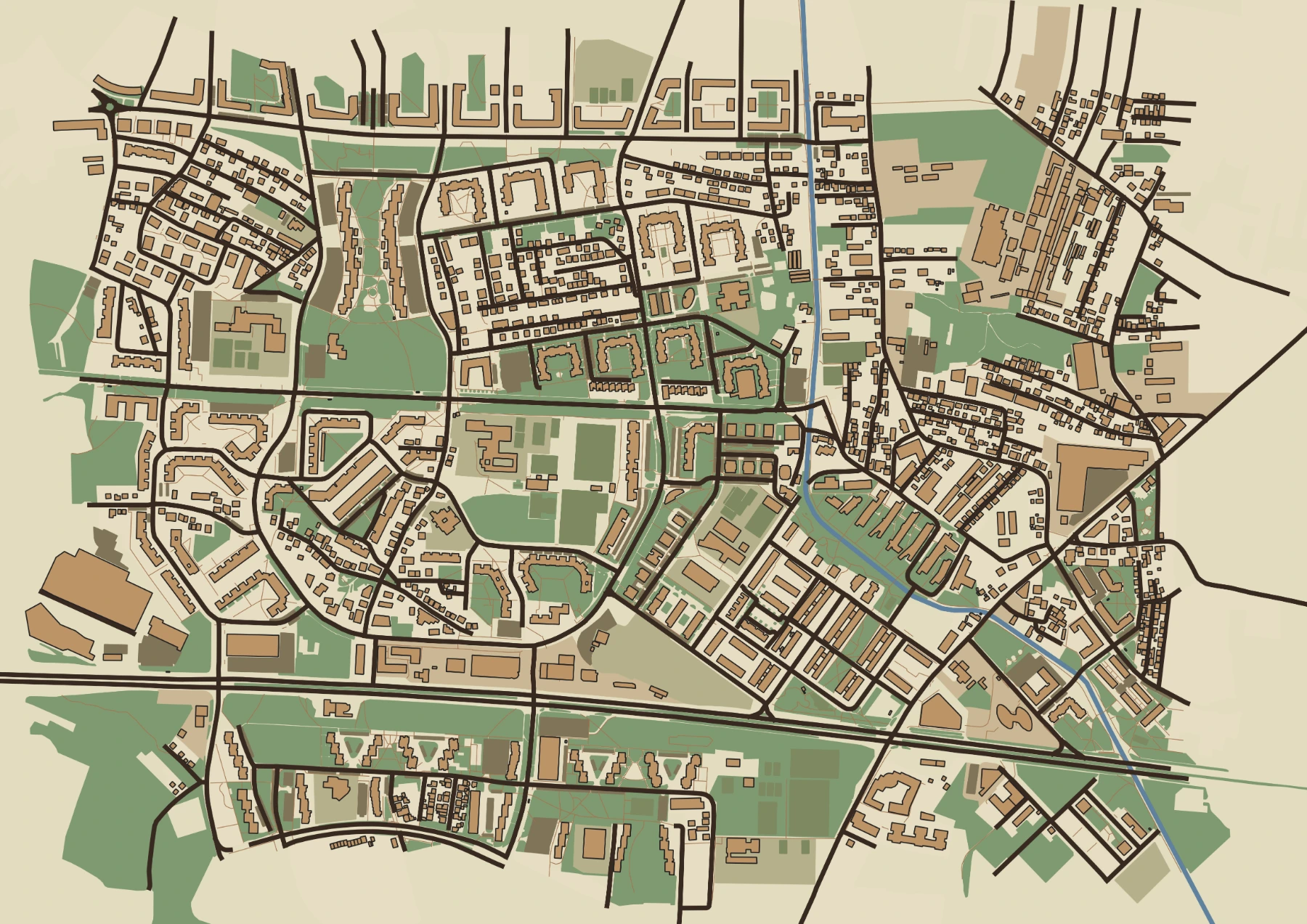
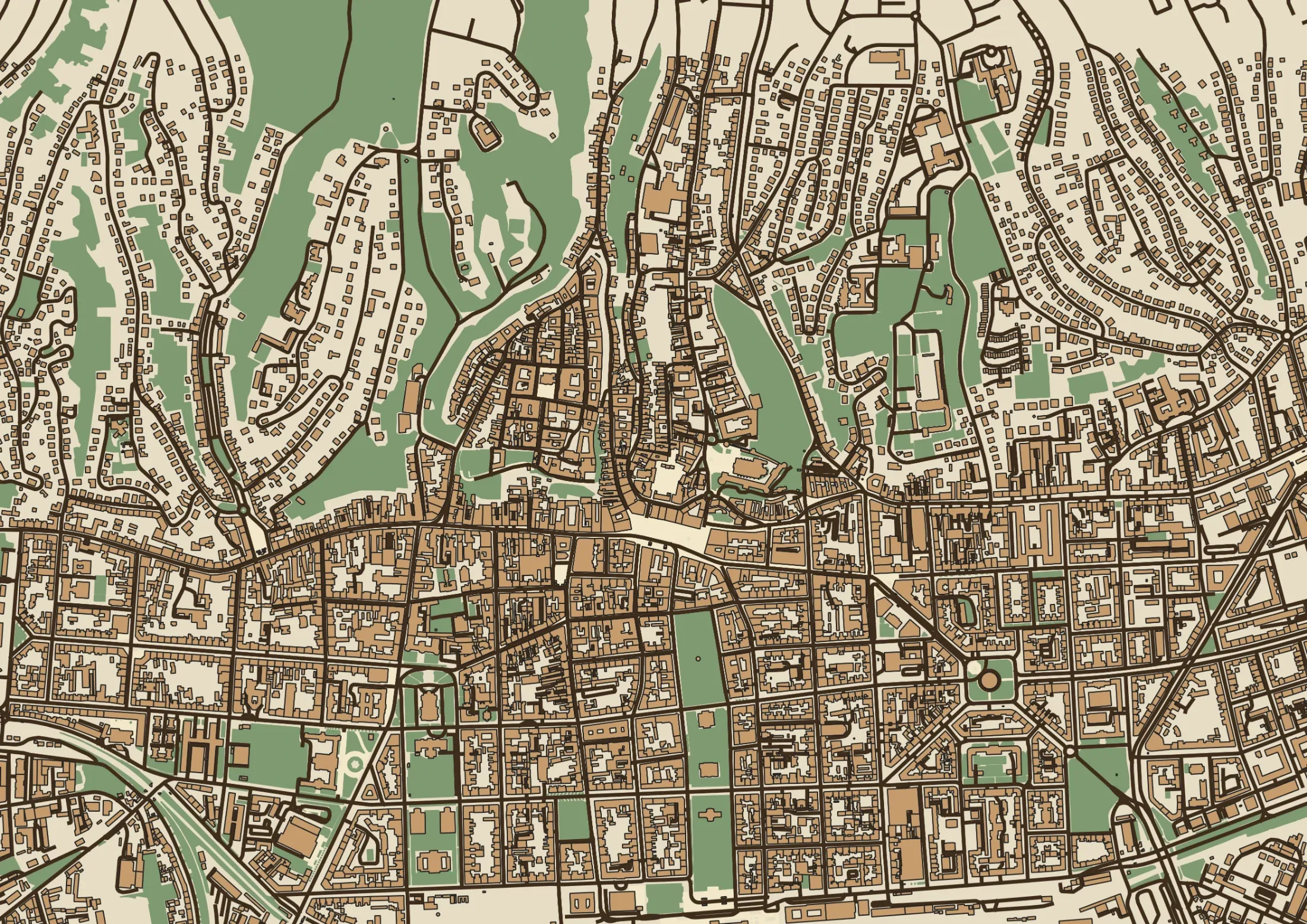
Selected work
A selection of completed projects.